
Jelai topographic map
Interactive map
Click on the map to display elevation.
About this map
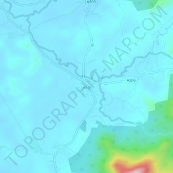
Name: Jelai topographic map, elevation, terrain.
Location: Jelai, Larut, Matang and Selama, Perak, Malaysia (4.99159 100.79105 5.03159 100.83105)
Average elevation: 190 ft
Minimum elevation: 69 ft
Maximum elevation: 1,499 ft