
Ksabi topographic map
Interactive map
Click on the map to display elevation.
About this map
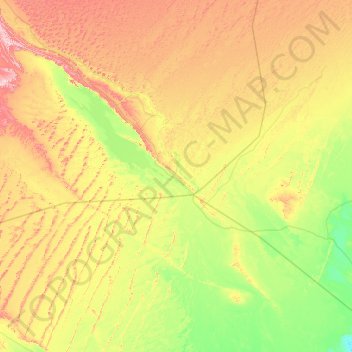
Name: Ksabi topographic map, elevation, terrain.
Location: Ksabi, Daïra de Ouled Khoudir, Béni Abbès, Algérie (28.79931 -2.00045 29.28570 -0.64036)
Average elevation: 1,178 ft
Minimum elevation: 705 ft
Maximum elevation: 2,110 ft