
Tryall topographic map
Interactive map
Click on the map to display elevation.
About this map
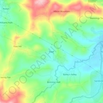
Name: Tryall topographic map, elevation, terrain.
Location: Tryall, Port Maria, Saint Mary, Middlesex County, Jamaica (18.33620 -76.93927 18.37620 -76.89927)
Average elevation: 249 ft
Minimum elevation: 23 ft
Maximum elevation: 640 ft