
武强县 topographic map
Interactive map
Click on the map to display elevation.
About this map
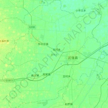
Name: 武强县 topographic map, elevation, terrain.
Location: 武强县, 衡水市, 河北省, 053300, 中国 (37.92108 115.76330 38.16805 116.06239)
Average elevation: 59 ft
Minimum elevation: 43 ft
Maximum elevation: 79 ft
Other topographic maps
Click on a map to view its topography, its elevation and its terrain.