
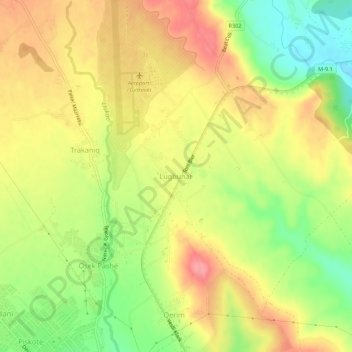
Lugbunar topographic map
Interactive map
Click on the map to display elevation.
About this map
Name: Lugbunar topographic map, elevation, terrain.
Location: Lugbunar, Municipality of Gjakova, 50000, Kosovo (42.40173 20.41687 42.44173 20.45687)
Average elevation: 1,306 ft
Minimum elevation: 1,145 ft
Maximum elevation: 1,440 ft