
Edingen topographic map
Interactive map
Click on the map to display elevation.
About this map
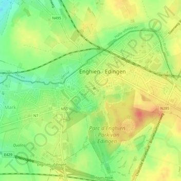
Name: Edingen topographic map, elevation, terrain.
Location: Edingen, Aat, Henegouwen, Wallonië, België (50.68803 4.02920 50.69762 4.04604)
Average elevation: 190 ft
Minimum elevation: 102 ft
Maximum elevation: 266 ft
Other topographic maps
Click on a map to view its topography, its elevation and its terrain.
Lettelingen
België > Henegouwen > Aat > Edingen
Lettelingen, Edingen, Aat, Henegouwen, Wallonië, België
Average elevation: 217 ft