
Iveldingen topographic map
Interactive map
Click on the map to display elevation.
About this map
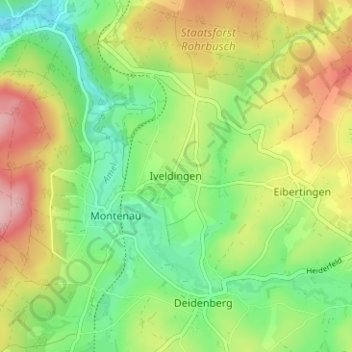
Name: Iveldingen topographic map, elevation, terrain.
Location: Iveldingen, Amblève, Verviers, Liège, Wallonie, 4770, Belgique (50.34258 6.11496 50.38258 6.15496)
Average elevation: 1,529 ft
Minimum elevation: 1,280 ft
Maximum elevation: 1,877 ft