
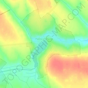
Рахни-Польові topographic map
Interactive map
Click on the map to display elevation.
About this map
Name: Рахни-Польові topographic map, elevation, terrain.
Location: Рахни-Польові, Вінницький район, Oblast de Vinnytsia, Ukraine (48.89979 28.49883 48.92130 28.52680)
Average elevation: 840 ft
Minimum elevation: 748 ft
Maximum elevation: 922 ft