
Maisières topographic map
Interactive map
Click on the map to display elevation.
About this map
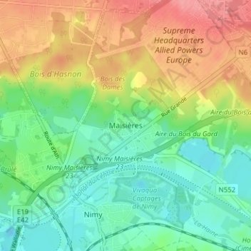
Name: Maisières topographic map, elevation, terrain.
Location: Maisières, Mons, Hainaut, Wallonia, 7020, Belgium (50.47015 3.94276 50.51015 3.98276)
Average elevation: 194 ft
Minimum elevation: 85 ft
Maximum elevation: 351 ft