
Le Pavillon topographic map
Interactive map
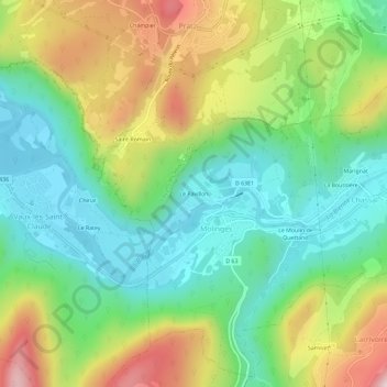
Click on the map to display elevation.
About this map
Name: Le Pavillon topographic map, elevation, terrain.
Average elevation: 1,703 ft
Minimum elevation: 1,066 ft
Maximum elevation: 2,812 ft
Other topographic maps
Click on a map to view its topography, its elevation and its terrain.
Molinges
France > Bourgogne-Franche-Comté > Jura > Chassal-Molinges
Molinges, Chassal-Molinges, Saint-Claude, Jura, Bourgogne-Franche-Comté, France métropolitaine, 39360, France
Average elevation: 1,565 ft