
Flims topographic map
Interactive map
Click on the map to display elevation.
About this map
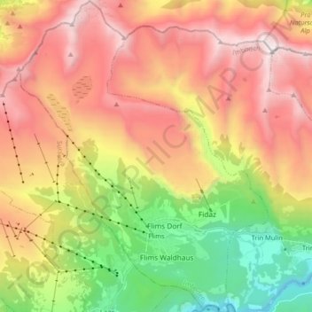
Name: Flims topographic map, elevation, terrain.
Location: Flims, Imboden, Grisons, Switzerland (46.80620 9.21303 46.91627 9.34150)
Average elevation: 6,227 ft
Minimum elevation: 1,982 ft
Maximum elevation: 10,495 ft