
Marcourt topographic map
Interactive map
Click on the map to display elevation.
About this map
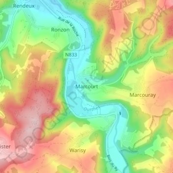
Name: Marcourt topographic map, elevation, terrain.
Location: Marcourt, Rendeux, Luxemburg, Wallonië, 6987, België (50.19454 5.50682 50.23454 5.54682)
Average elevation: 945 ft
Minimum elevation: 614 ft
Maximum elevation: 1,332 ft