
Gemeinde Reuthe topographic map
Interactive map
Click on the map to display elevation.
About this map
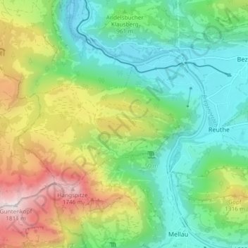
Name: Gemeinde Reuthe topographic map, elevation, terrain.
Location: Gemeinde Reuthe, Bezirk Bregenz, Vorarlberg, Austria (47.35691 9.83355 47.38754 9.90726)
Average elevation: 3,268 ft
Minimum elevation: 1,949 ft
Maximum elevation: 5,899 ft