Geolocate

Mount Malepunyo topographic map

Click on the map to display elevation.

About this map

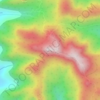
Name: Mount Malepunyo topographic map, elevation, terrain.

Location: Mount Malepunyo, Lipa, Batangas, Calabarzon, Philippines (13.96320 121.23967 13.96330 121.23977)

Average elevation: 2,283 ft

Minimum elevation: 1,234 ft

Maximum elevation: 3,150 ft

Other topographic maps

Click on a map to view its topography, its elevation and its terrain.

Duhatan

Philippines > Batangas > Lipa

Average elevation: 978 ft

Gear up for your next adventure:

Solar GPS Watches - Advanced multisport watches with built-in topographic maps
🧤Tactile Hiking Gloves - Keep hands warm while operating GPS and smartphone screens
🧥Men's Rain Shells - Premium waterproof and breathable jackets for mountain weather
🧼Biodegradable Camping Soap - Eco‑friendly soap for outdoor hygiene
🧴Hand Sanitizer - Keep hands clean while hiking

As an Amazon Associate, this site earns from qualifying purchases at no extra cost to you.