

Setif topographic map
Click on the map to display elevation.
Setif
It is an inner city, situated in the eastern side of Algeria, 270 kilometers (170 mi) east of Algiers, 131 km (81 mi) west of Constantine, in the Hautes Plaines region south of Béjaia and Jijel. The city is at an altitude of 1,100 meters (3,600 ft).
About this map
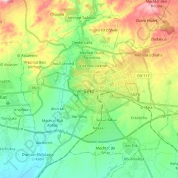
Name: Setif topographic map, elevation, terrain.
Location: Setif, Setif District, Setif, 19000, Algeria (36.13356 5.33706 36.24869 5.50629)
Average elevation: 3,494 ft
Minimum elevation: 3,074 ft
Maximum elevation: 4,324 ft