
La Parota topographic map
Interactive map
Click on the map to display elevation.
About this map
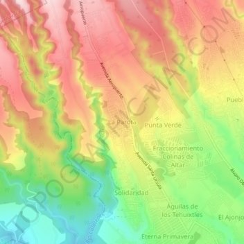
Name: La Parota topographic map, elevation, terrain.
Location: La Parota, Temixco, Morelos, 62595, México (18.84353 -99.28775 18.88353 -99.24775)
Average elevation: 4,446 ft
Minimum elevation: 3,911 ft
Maximum elevation: 4,902 ft