
Batawala topographic map
Interactive map
Click on the map to display elevation.
About this map
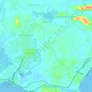
Name: Batawala topographic map, elevation, terrain.
Location: Batawala, Matara District, Southern Province, 81700, Sri Lanka (5.96081 80.38628 6.00081 80.42628)
Average elevation: 36 ft
Minimum elevation: 0 ft
Maximum elevation: 223 ft