
Brugsevaart topographic map
Interactive map
Click on the map to display elevation.
About this map
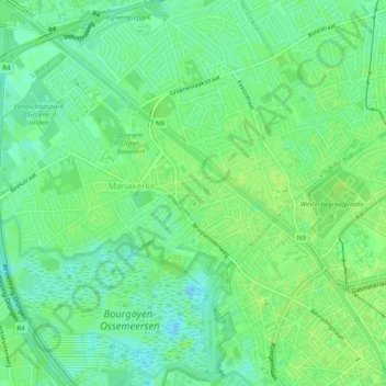
Name: Brugsevaart topographic map, elevation, terrain.
Location: Brugsevaart, Gent, Oost-Vlaanderen, Vlaanderen, 9030, België (51.05722 3.65905 51.08695 3.70787)
Average elevation: 23 ft
Minimum elevation: -26 ft
Maximum elevation: 36 ft
Other topographic maps
Click on a map to view its topography, its elevation and its terrain.
Westelijke Leie
België > Vlaanderen > Gent
Westelijke Leie, Gent, Oost-Vlaanderen, Vlaanderen, 9000, België
Average elevation: 26 ft
Klein Zonneputje
België > Vlaanderen > Gent
Klein Zonneputje, Zonneputtragel, Zwijnaarde, Gent, Oost-Vlaanderen, Vlaanderen, 9052, België
Average elevation: 30 ft