
Hultrop topographic map
Interactive map
Click on the map to display elevation.
About this map
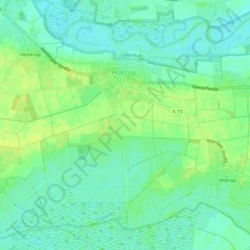
Name: Hultrop topographic map, elevation, terrain.
Location: Hultrop, Lippetal, Kreis Soest, Nordrhein-Westfalen, Deutschland (51.63459 8.03643 51.65700 8.07554)
Average elevation: 236 ft
Minimum elevation: 210 ft
Maximum elevation: 262 ft