
Rhane Ki Basti topographic map
Interactive map
Click on the map to display elevation.
About this map
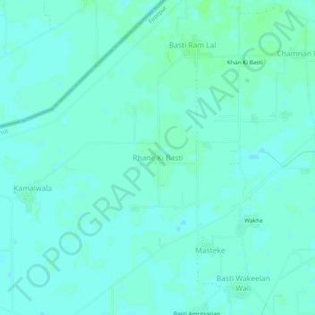
Name: Rhane Ki Basti topographic map, elevation, terrain.
Location: Rhane Ki Basti, Firozpur Tahsil, Firozpur, Punjab, India (31.02740 74.66690 31.06740 74.70690)
Average elevation: 659 ft
Minimum elevation: 650 ft
Maximum elevation: 669 ft