
Hoevelaken topographic map
Interactive map
Click on the map to display elevation.
About this map
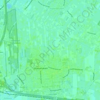
Name: Hoevelaken topographic map, elevation, terrain.
Location: Hoevelaken, Nijkerk, Gelderland, Netherlands, The Netherlands (52.16576 5.43809 52.19724 5.48547)
Average elevation: 16 ft
Minimum elevation: 0 ft
Maximum elevation: 26 ft