
Landmarke Lausitzer Seenland "Rostiger Nagel" topographic map
Interactive map
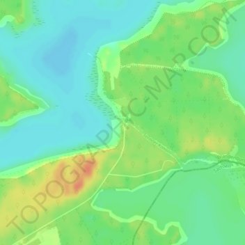
Click on the map to display elevation.
About this map
Name: Landmarke Lausitzer Seenland "Rostiger Nagel" topographic map, elevation, terrain.
Average elevation: 335 ft
Minimum elevation: 285 ft
Maximum elevation: 413 ft