
大久保町 topographic map
Interactive map
Click on the map to display elevation.
About this map
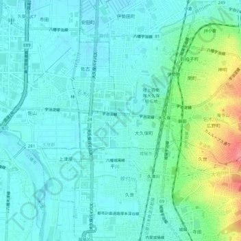
Name: 大久保町 topographic map, elevation, terrain.
Location: 大久保町, Uji, Kyoto Prefecture, 611-0033, Japan (34.85313 135.74818 34.89313 135.78818)
Average elevation: 85 ft
Minimum elevation: 26 ft
Maximum elevation: 295 ft