
Ústí topographic map
Interactive map
Click on the map to display elevation.
About this map
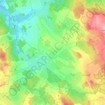
Name: Ústí topographic map, elevation, terrain.
Location: Ústí, okres Jihlava, Kraj Vysočina, Southeast, Czech Republic (49.45597 15.39059 49.49398 15.44458)
Average elevation: 1,991 ft
Minimum elevation: 1,785 ft
Maximum elevation: 2,257 ft