
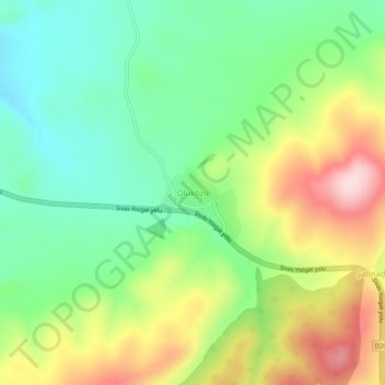
Oluközü topographic map
Interactive map
Click on the map to display elevation.
About this map
Name: Oluközü topographic map, elevation, terrain.
Average elevation: 4,350 ft
Minimum elevation: 3,950 ft
Maximum elevation: 4,987 ft
Other topographic maps
Click on a map to view its topography, its elevation and its terrain.
Kızılcaova
Kızılcaova, Akdağmadeni, Yozgat, Central Anatolia Region, 66300, Turkey
Average elevation: 6,430 ft