
Yuriria topographic map
Interactive map
Click on the map to display elevation.
About this map
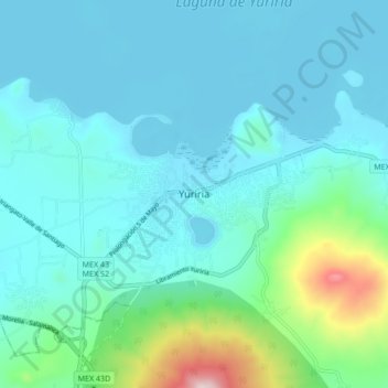
Name: Yuriria topographic map, elevation, terrain.
Location: Yuriria, Guanajuato, 38943, México (20.17283 -101.17111 20.25283 -101.09111)
Average elevation: 5,961 ft
Minimum elevation: 5,659 ft
Maximum elevation: 7,644 ft