
Little Cottonwood Creek Valley topographic map
Interactive map
Click on the map to display elevation.
About this map
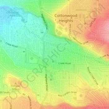
Name: Little Cottonwood Creek Valley topographic map, elevation, terrain.
Average elevation: 4,715 ft
Minimum elevation: 4,521 ft
Maximum elevation: 4,921 ft