
Garhbeta topographic map
Interactive map
Click on the map to display elevation.
About this map
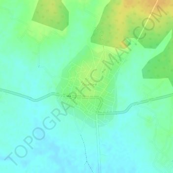
Name: Garhbeta topographic map, elevation, terrain.
Location: Garhbeta, Paschim Medinipur, West Bengal, India (22.70300 87.16398 22.71606 87.17626)
Average elevation: 210 ft
Minimum elevation: 174 ft
Maximum elevation: 269 ft