
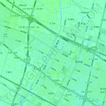
薛家镇 topographic map
Interactive map
Click on the map to display elevation.
About this map
Name: 薛家镇 topographic map, elevation, terrain.
Location: 薛家镇, 新北区, 常州市, 江苏省, 213000, 中国 (31.82087 119.84428 31.90214 119.93988)
Average elevation: 23 ft
Minimum elevation: 10 ft
Maximum elevation: 30 ft
Other topographic maps
Click on a map to view its topography, its elevation and its terrain.