
Engelbert topographic map
Interactive map
Click on the map to display elevation.
About this map
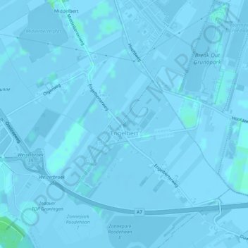
Name: Engelbert topographic map, elevation, terrain.
Location: Engelbert, Groningen, Niederlande (53.19940 6.62582 53.21863 6.66687)
Average elevation: -3 ft
Minimum elevation: -20 ft
Maximum elevation: 20 ft