
Ponta do Sol topographic map
Interactive map
Click on the map to display elevation.
About this map
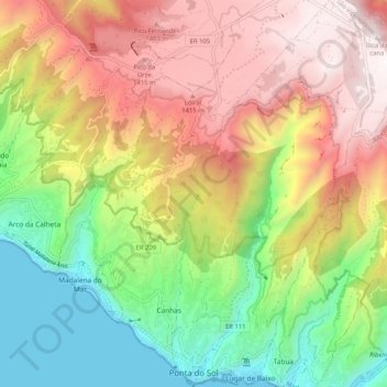
Name: Ponta do Sol topographic map, elevation, terrain.
Location: Ponta do Sol, Madeira, Madère, Portugal (32.67786 -17.10998 32.76457 -17.04679)
Average elevation: 2,497 ft
Minimum elevation: -7 ft
Maximum elevation: 5,302 ft