
Hoste topographic map
Interactive map
Click on the map to display elevation.
About this map
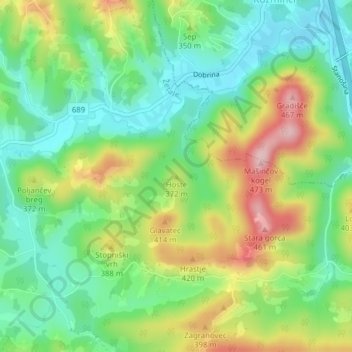
Name: Hoste topographic map, elevation, terrain.
Location: Hoste, Žetale, 2286, Slowenien (46.28321 15.83743 46.28331 15.83753)
Average elevation: 1,056 ft
Minimum elevation: 797 ft
Maximum elevation: 1,483 ft