
Land topographic map
Interactive map
Click on the map to display elevation.
About this map
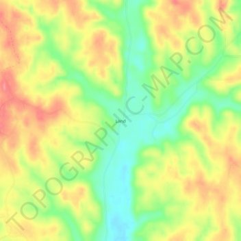
Name: Land topographic map, elevation, terrain.
Location: Land, Choctaw County, Alabama, Estados Unidos de América (32.00876 -88.34836 32.04876 -88.30836)
Average elevation: 312 ft
Minimum elevation: 161 ft
Maximum elevation: 453 ft