
Kampung Gajah topographic map
Interactive map
Click on the map to display elevation.
About this map
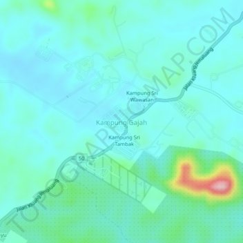
Name: Kampung Gajah topographic map, elevation, terrain.
Location: Kampung Gajah, Johor, Malaysia (2.08335 103.37468 2.12335 103.41468)
Average elevation: 180 ft
Minimum elevation: 75 ft
Maximum elevation: 719 ft
Other topographic maps
Click on a map to view its topography, its elevation and its terrain.
Kampung Sri Wawasan
Malaysia > Johor > Kampung Gajah
Kampung Sri Wawasan, Kampung Gajah, Kluang, Johor, Malaysia
Average elevation: 177 ft