
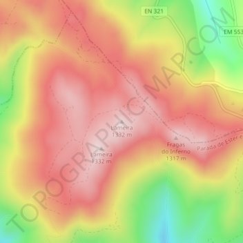
Lameira topographic map
Interactive map
Click on the map to display elevation.
About this map
Name: Lameira topographic map, elevation, terrain.
Location: Lameira, Castro Daire, Viseu, 3600-506, Portugal (40.96704 -8.02994 40.96714 -8.02984)
Average elevation: 3,816 ft
Minimum elevation: 2,959 ft
Maximum elevation: 4,347 ft