
Nares topographic map
Interactive map
Click on the map to display elevation.
About this map
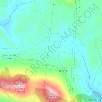
Name: Nares topographic map, elevation, terrain.
Location: Nares, Valdeolea, Campoo-Los Valles, Cantabria, 39418, Spagna (42.90357 -4.17080 42.92357 -4.15080)
Average elevation: 3,287 ft
Minimum elevation: 3,077 ft
Maximum elevation: 3,848 ft