
Mogotio topographic map
Interactive map
Click on the map to display elevation.
About this map
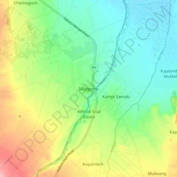
Name: Mogotio topographic map, elevation, terrain.
Location: Mogotio, County, Rift Valley, Kenia (-0.06231 35.92184 0.01769 36.00184)
Average elevation: 5,217 ft
Minimum elevation: 5,056 ft
Maximum elevation: 5,502 ft