
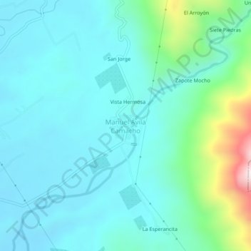
Manuel Avila Camacho topographic map
Interactive map
Click on the map to display elevation.
About this map
Name: Manuel Avila Camacho topographic map, elevation, terrain.
Location: Manuel Avila Camacho, Villa Comaltitlán, Chiapas, México (15.21431 -92.56213 15.25431 -92.52213)
Average elevation: 541 ft
Minimum elevation: 115 ft
Maximum elevation: 2,530 ft