
Letham topographic map
Interactive map
Click on the map to display elevation.
About this map
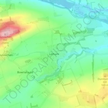
Name: Letham topographic map, elevation, terrain.
Location: Letham, Angus, Scotland, DD8 2PZ, United Kingdom (56.60883 -2.78954 56.64883 -2.74954)
Average elevation: 367 ft
Minimum elevation: 190 ft
Maximum elevation: 764 ft