
Oyameles topographic map
Interactive map
Click on the map to display elevation.
About this map
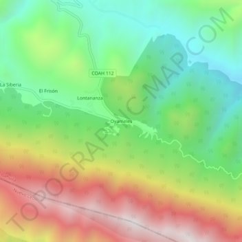
Name: Oyameles topographic map, elevation, terrain.
Location: Oyameles, Arteaga, Coahuila de Zaragoza, México (25.20163 -100.41329 25.24163 -100.37329)
Average elevation: 9,747 ft
Minimum elevation: 8,074 ft
Maximum elevation: 12,106 ft