San Jacinto topographic map
Interactive map
Click on the map to display elevation.
About this map
Name: San Jacinto topographic map, elevation, terrain.
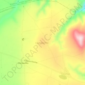
Average elevation: 10,928 ft
Minimum elevation: 10,344 ft
Maximum elevation: 11,450 ft

Click on the map to display elevation.
Name: San Jacinto topographic map, elevation, terrain.
Average elevation: 10,928 ft
Minimum elevation: 10,344 ft
Maximum elevation: 11,450 ft