Geolocate

Thenmala topographic map

Click on the map to display elevation.

About this map
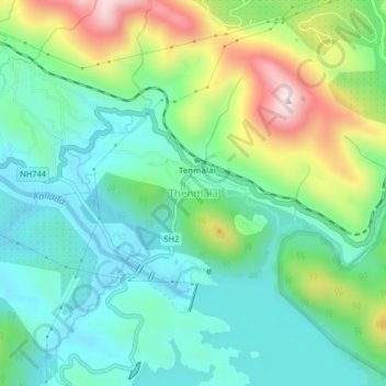
Name: Thenmala topographic map, elevation, terrain.

Location: Thenmala, Punalur, Kollam District, Kerala, 691308, India (8.94527 77.04996 8.98527 77.08996)

Average elevation: 696 ft

Minimum elevation: 217 ft

Maximum elevation: 1,837 ft

Gear up for your next adventure:

📦Gear Storage Bags - Organize and protect outdoor equipment
🪶Survival Guide Book - Expert advice for emergency preparedness
🎒Trekking Poles - Sturdy poles for balance and stability on rough terrain
🧣Hiking Neck Gaiter - Multi‑use neck protection for outdoor weather
🔌USB Car Charger - Car charger for on‑the‑go power needs

As an Amazon Associate, this site earns from qualifying purchases at no extra cost to you.