
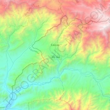
Cascas topographic map
Interactive map
Click on the map to display elevation.
About this map
Name: Cascas topographic map, elevation, terrain.
Location: Cascas, Gran Chimú, La Libertad, Pérou (-7.62267 -78.94449 -7.39515 -78.62511)
Average elevation: 5,338 ft
Minimum elevation: 1,122 ft
Maximum elevation: 14,098 ft