
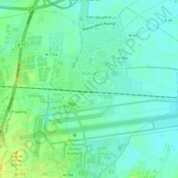
Aulnat topographic map
Interactive map
Click on the map to display elevation.
About this map
Name: Aulnat topographic map, elevation, terrain.
Average elevation: 1,066 ft
Minimum elevation: 1,043 ft
Maximum elevation: 1,099 ft
Une station météorologique est implantée depuis 1923 à Aulnat, à une altitude de 329 mètres.