
Batha De Laïri topographic map
Interactive map
Click on the map to display elevation.
About this map
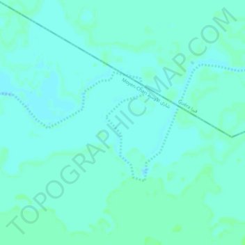
Name: Batha De Laïri topographic map, elevation, terrain.
Location: Batha De Laïri, Moyen-Chari, Chad (10.34222 18.02776 10.36286 18.07184)
Average elevation: 1,181 ft
Minimum elevation: 1,171 ft
Maximum elevation: 1,191 ft
Other topographic maps
Click on a map to view its topography, its elevation and its terrain.
Iro بحيرة إيرو
Chad > Moyen-Chari > Campement Pêcheur Borno
Iro بحيرة إيرو, Campement Pêcheur Borno, Moyen-Chari, Chad
Average elevation: 1,273 ft