
Walsum topographic map
Interactive map
Click on the map to display elevation.
About this map
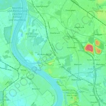
Name: Walsum topographic map, elevation, terrain.
Location: Walsum, Duisburg, Nordrhein-Westfalen, Deutschland (51.51040 6.67637 51.56007 6.78485)
Average elevation: 85 ft
Minimum elevation: 33 ft
Maximum elevation: 266 ft
Other topographic maps
Click on a map to view its topography, its elevation and its terrain.
Duisburg
Deutschland > Nordrhein-Westfalen > Duisburg > Duisburg
Duisburg, Nordrhein-Westfalen, 47051, Deutschland
Average elevation: 164 ft