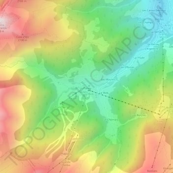
Le Planey topographic map
Interactive map
Click on the map to display elevation.
About this map
Name: Le Planey topographic map, elevation, terrain.
Average elevation: 5,157 ft
Minimum elevation: 3,186 ft
Maximum elevation: 7,680 ft

Click on the map to display elevation.
Name: Le Planey topographic map, elevation, terrain.
Average elevation: 5,157 ft
Minimum elevation: 3,186 ft
Maximum elevation: 7,680 ft