
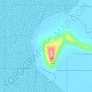
Phnom Ankgor Borei topographic map
Interactive map
Click on the map to display elevation.
About this map
Name: Phnom Ankgor Borei topographic map, elevation, terrain.
Location: Phnom Ankgor Borei, Takeo, Cambodia (10.94621 104.96256 10.94631 104.96266)
Average elevation: 36 ft
Minimum elevation: -3 ft
Maximum elevation: 489 ft
Other topographic maps
Click on a map to view its topography, its elevation and its terrain.