
Ambassa topographic map
Interactive map
Click on the map to display elevation.
About this map
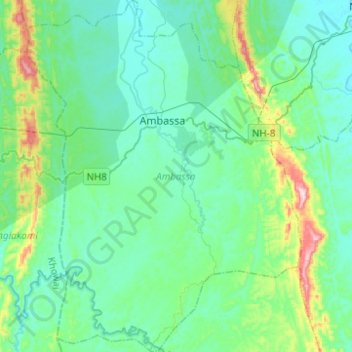
Name: Ambassa topographic map, elevation, terrain.
Location: Ambassa, Dhalai, Tripura, 799289, India (23.77498 91.75968 24.00115 91.95308)
Average elevation: 420 ft
Minimum elevation: 154 ft
Maximum elevation: 1,631 ft
Other topographic maps
Click on a map to view its topography, its elevation and its terrain.
Dharmanagar
India > Tripura > Panisagar > Dharmanagar
Dharmanagar, Panisagar, North Tripura, Tripura, 799250, India
Average elevation: 108 ft