
Austinville topographic map
Interactive map
Click on the map to display elevation.
About this map
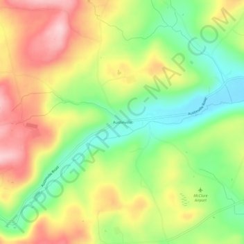
Name: Austinville topographic map, elevation, terrain.
Location: Austinville, Bradford County, Pennsylvania, 16945, USA (41.81896 -76.89385 41.85896 -76.85385)
Average elevation: 1,529 ft
Minimum elevation: 1,184 ft
Maximum elevation: 1,916 ft